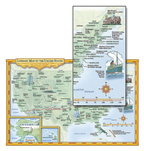
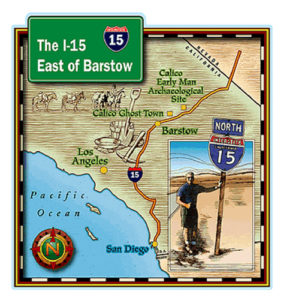
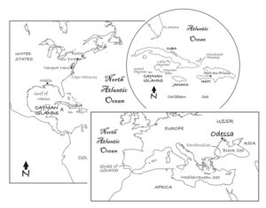
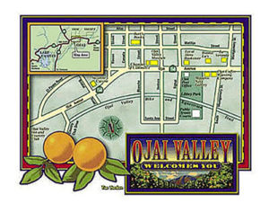
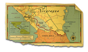
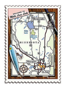
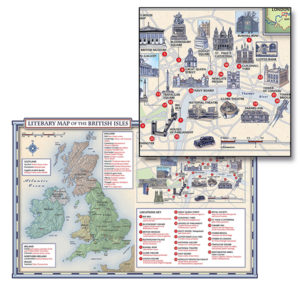
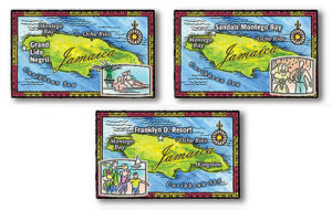
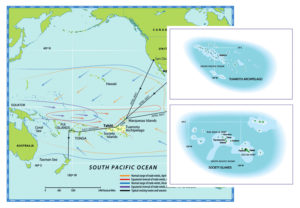
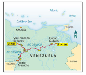
MAPS POINT THE WAY. Help your readers know where the action is in your story.


Similar Posts
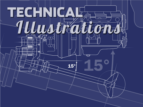
Technical Illustration
HOW DOES IT WORK? Showing how something works helps readers retain information.
Editorial Illustration
ILLUSTRATIONS PROVIDE variety and interest. They can be interpretations or visual explanations designed for all types of publications.